Stream Gaging Network
The Upper Loup Natural Resources District received a grant from the Nebraska Environmental Trust to install two stream gages in the District which will help provide critical hydrologic information. The NRD is located in the Sandhills, which holds one of the most important aquifer systems in the state and lies at the head waters of the Loup River system, which is a major tributary to the Platte River. Future changes, whether caused by climatic or anthropogenic on hydrology and land use potentially can change the amount of water present in these streams leading to a transformation of the river, its tributaries and adjacent wet meadows. These changes can affect riparian habitat structure, and the sustainability of meadows to support livestock, migratory and resident birds and other biota. Pumping from aquifers that are hydrologically connected with surface water bodies can have a significant effect on those bodies by reducing the groundwater discharge to surface water and in the Sandhills most stream flow is produced by groundwater discharge. Continuous stream flow information provided by gaging station allows resource managers and hydrologists to analyze stream flow patterns, both temporally and spatially, and separate the groundwater discharge component of total stream flow, called base blow. Base flow is the primary component of stream flow in the Loup River Basin and constitutes over 90% of stream flow in the central Sandhills.
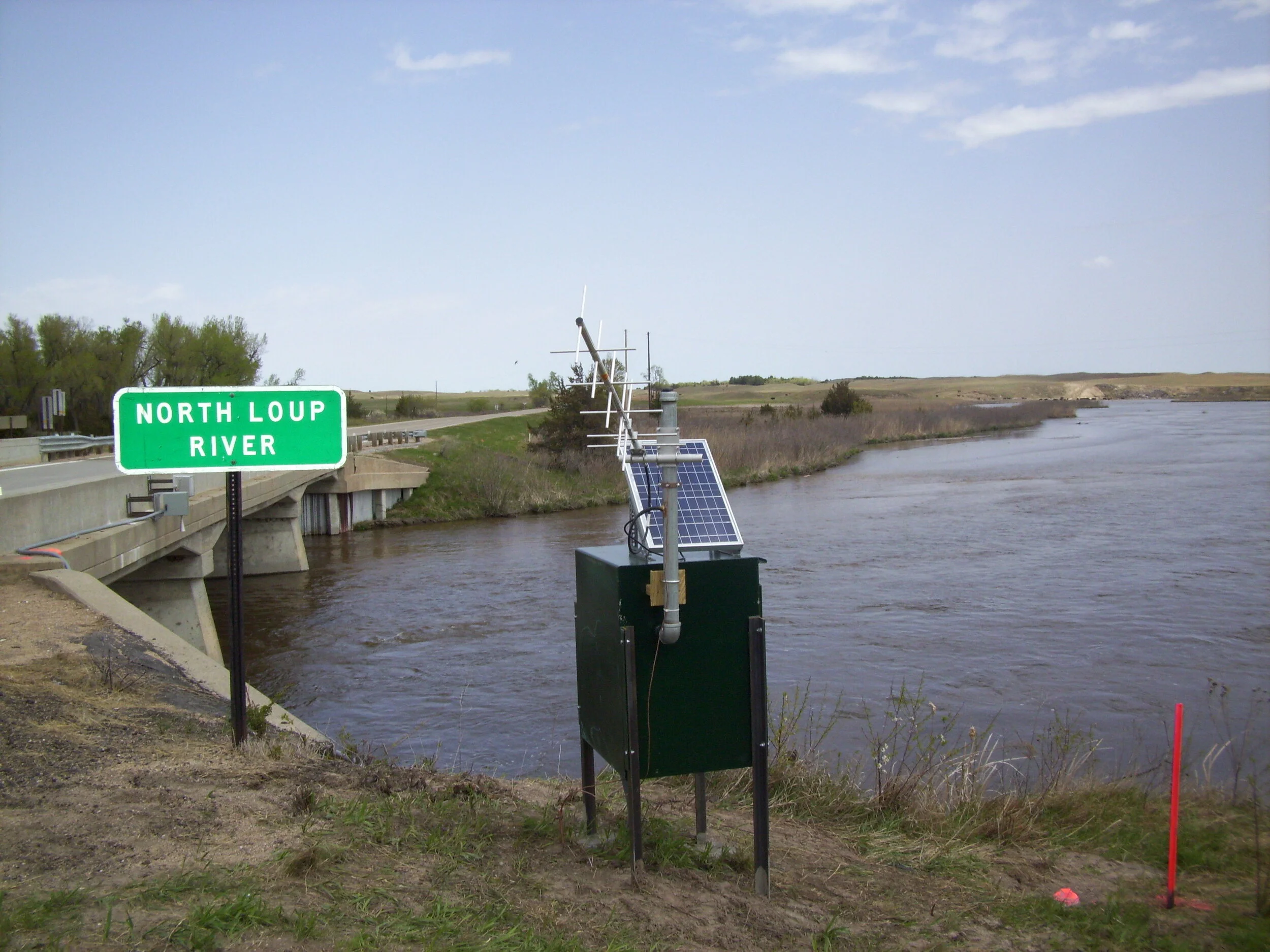
Two stream gaging locations have been identified as high priority areas. The South Loup River near Arnold is located near the eastern edge of the ULNRD and roughly marks where the South Loup River leaves the Sandhills and enters the Loess Hills. The ULNRD has selected this location for additional monitoring to determine if groundwater irrigation is having an adverse affect on stream flow on the South Loup. The North Loup River near Brewster is located below the confluence of Goose Creek and drains approximately 1,890 square miles. Much of this drainage area remains undeveloped with regard to groundwater irrigation. Stream flow information collected at this site would provide critical information for the ULNRD and managers downstream to determine how much water is leaving the ULNRD as base flow. Due to this drainage area remaining undeveloped, stream flow changes at this location could relate to changes in groundwater recharge and climatic conditions.
Data collected can provide critical information on current conditions and provide a foundation to relate future stream flow conditions to long term changes in water use and groundwater recharge. Information gained can also be used to enhance public safety by providing data for forecasting and managing floods, evaluating groundwater and surface water interaction, and providing baseline information allowing managers to assess long-term changes in the hydrologic cycle. All data would by maintained permanently in the publicly accessible U.S. Geological Survey’s National Water Information System database and served real-time to the World Wide Web on NWIS Web.
To access databases please click the following links: